Leaving Wild Hare Farm for James River State Park VA

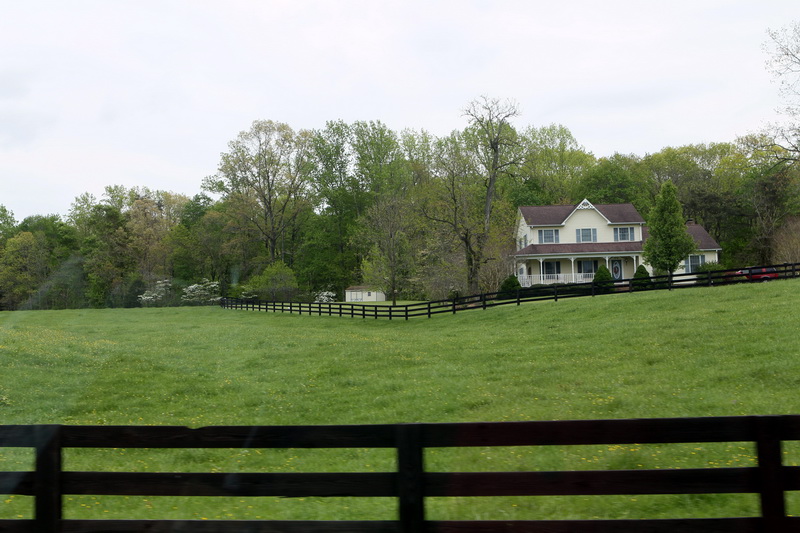
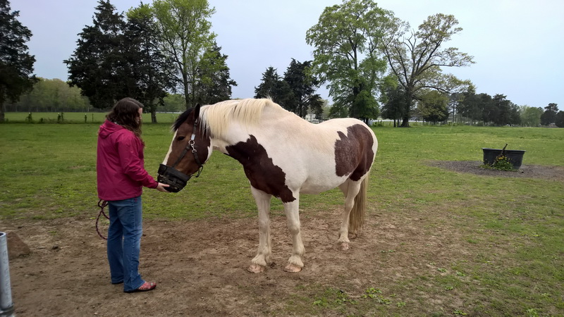
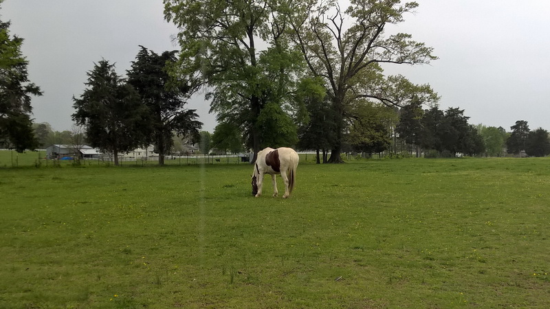
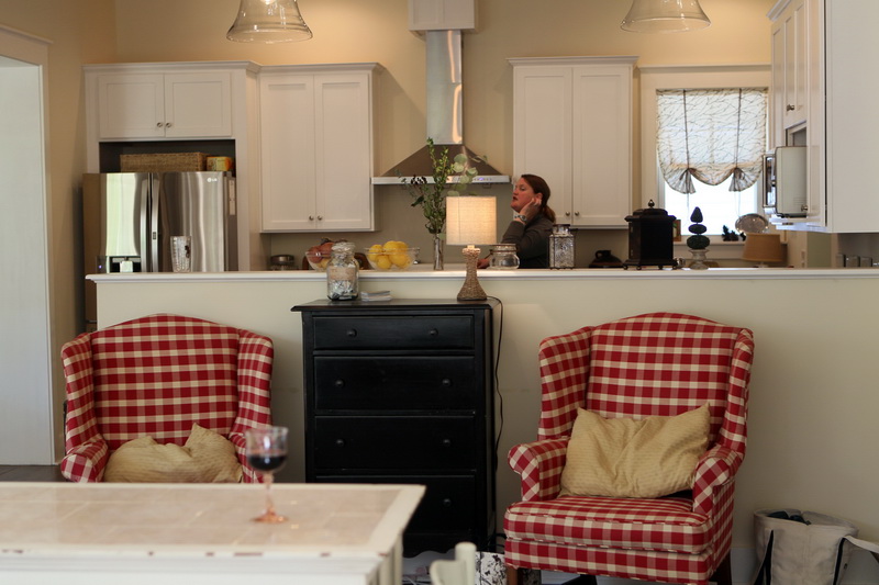
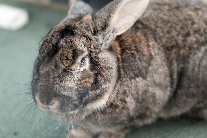
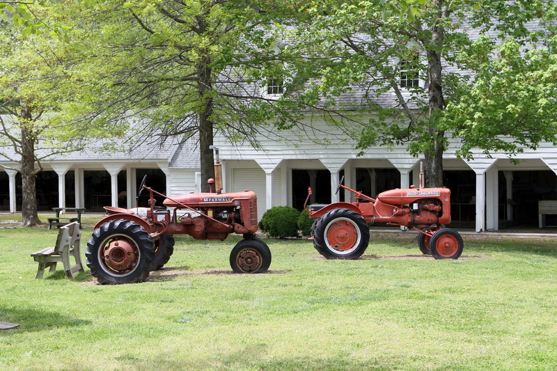
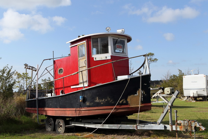
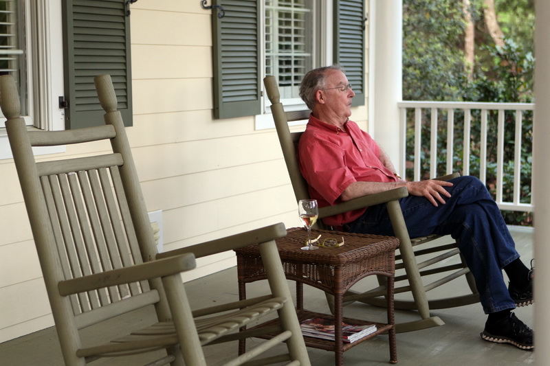
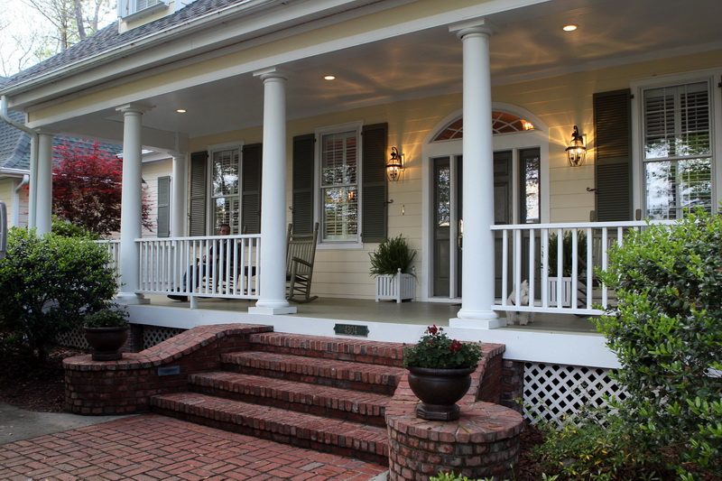
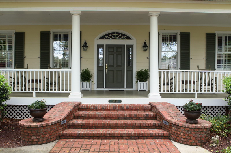
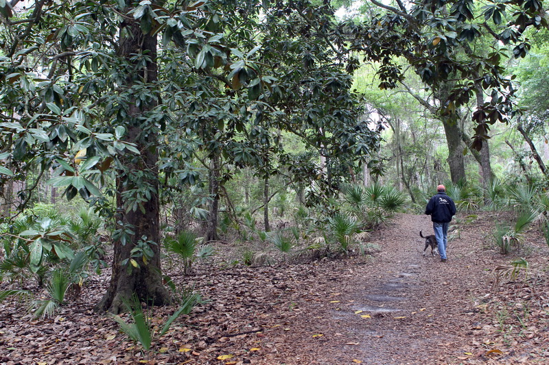
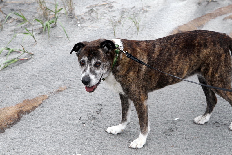
April 26, 2015.  Yesterday we chowed down on a real farm breakfast of eggs (homemade), bacon (not homemade), fresh fruit and strong coffee.  Thus fortified, Matt and Christopher set out for a state-wide music contest in which Christopher played the trombone, and the rest of us visited a nearby farm in Ashland VA where Alyson’s draft horse, Blossom, presides over her own lush pasture.   Blossom is a huge tri-color mare who is mostly white but with patches of brown on her chest and sides and a black mane — a very sweet, gentle companion and good in the hunt.  After lunch Alyson and I played some fierce Canasta, with Madelyn cheering us on.  We took a late afternoon hike through the beautiful woods surrounding the house — almost exclusively mature hardwoods bristling with bright green new leaves.  We especially like the smooth-bark American beeches, which grow so big in this area.  Matt grilled steaks while we all gathered in the kitchen to cook the other fixings — a perfect dinner for the big farm table overlooking the porch.  We stayed up late again, this time all playing a fun game called Things, which I lost miserably.  Alyson, Madelyn and Christopher were so funny doing impressions — my sides still hurt from laughing so hard for so long.

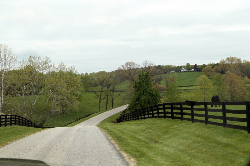
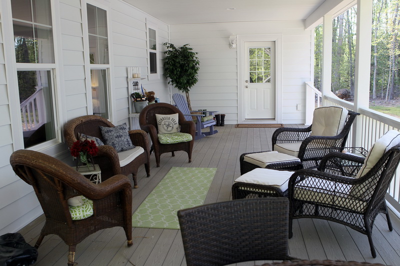
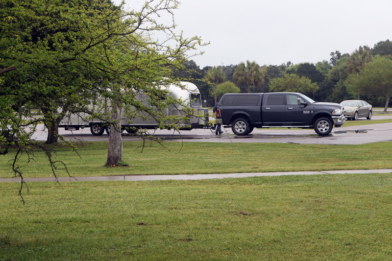
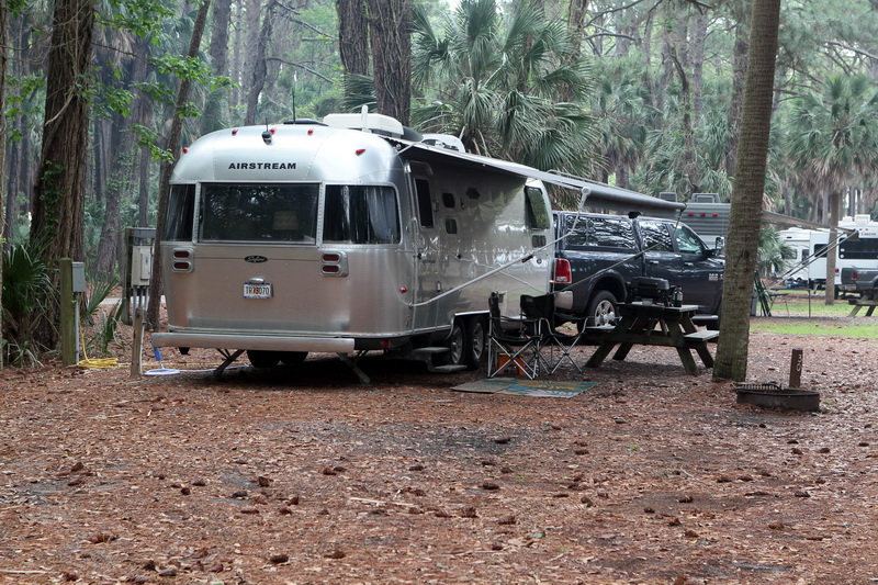
Our stay at Wild Hare Farm was far too short; the only thing that kept us from weeping openly as we pulled out of the treacherous driveway this morning was the promise that they would visit us at the lake on the Forth of July.  (The driveway is treacherous only because it takes a dramatic dip in the middle and the Airstream nearly bottoms out at that point.  It made it with a 3-inch clearance, which was fine, but made me nervous.  It was no big deal to anybody else.)

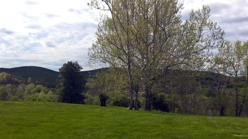
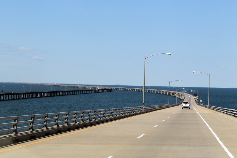
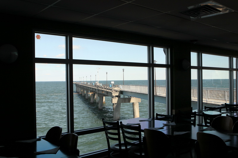
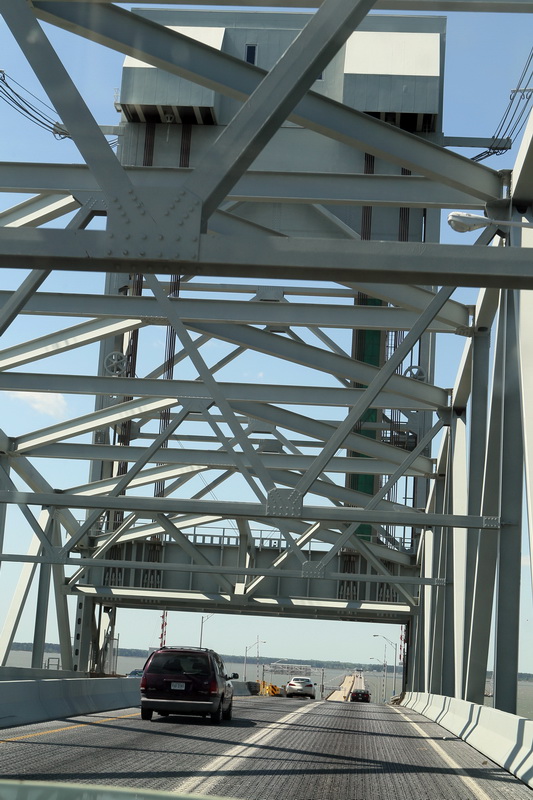
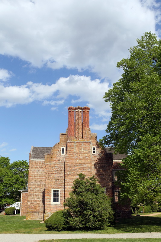
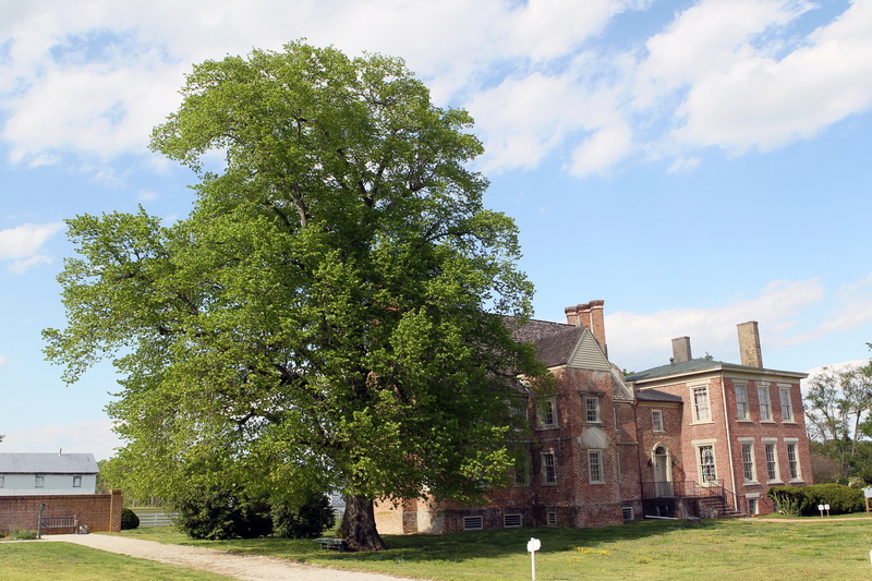
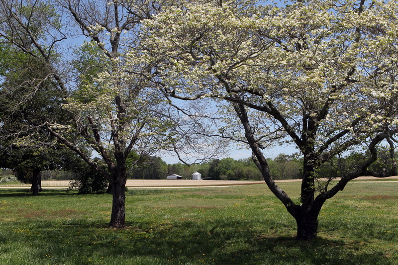
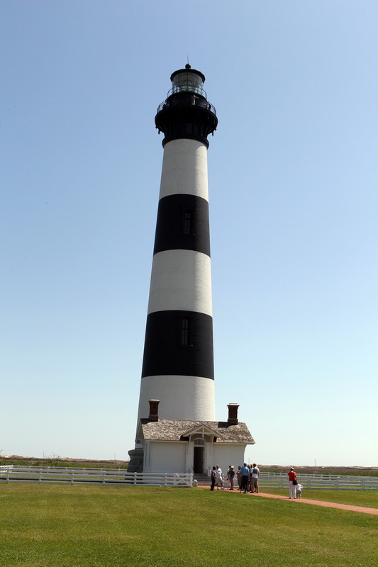
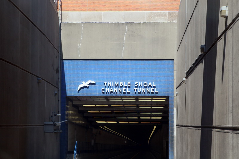
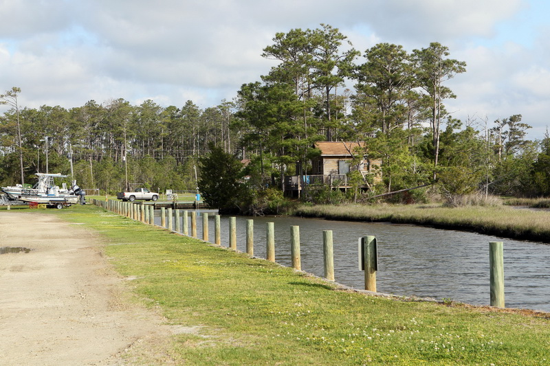
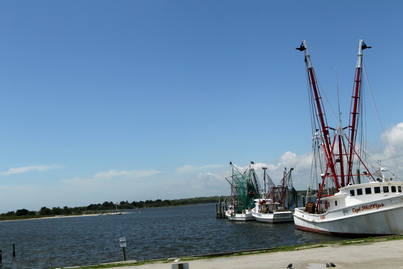
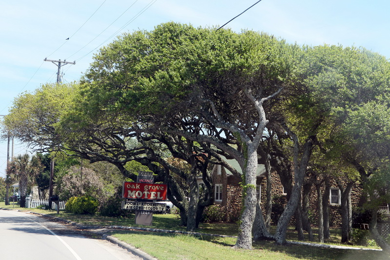
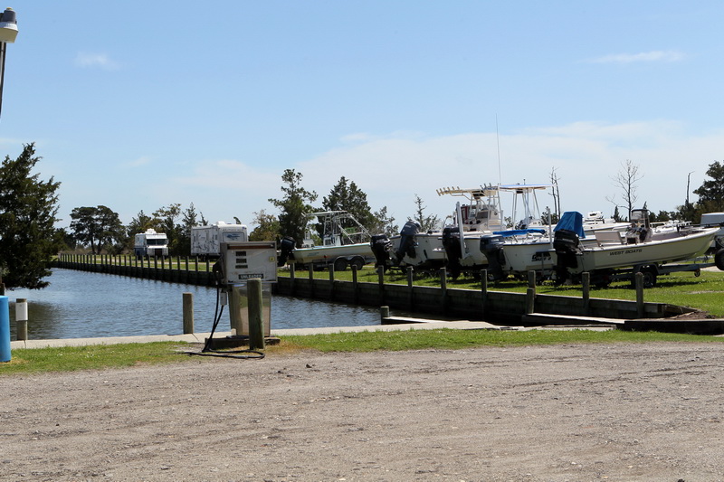
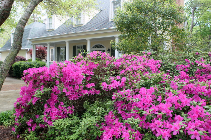
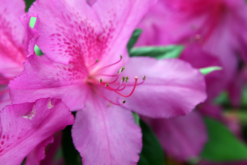
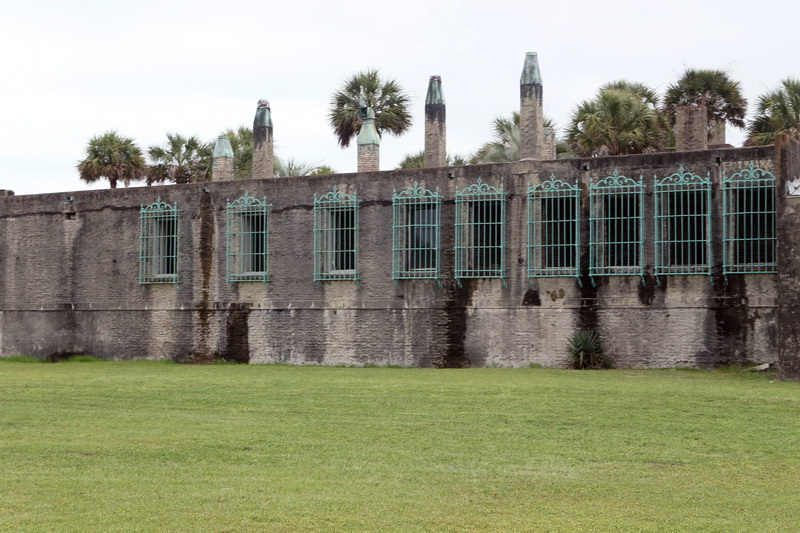
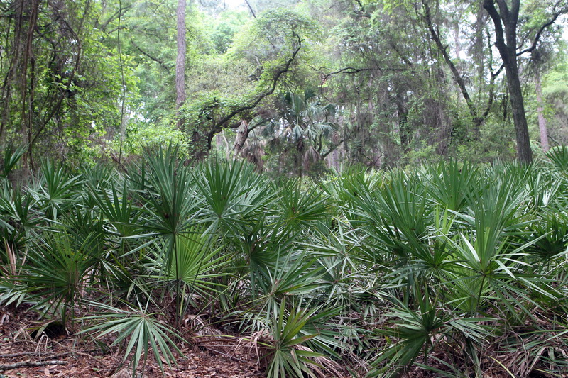
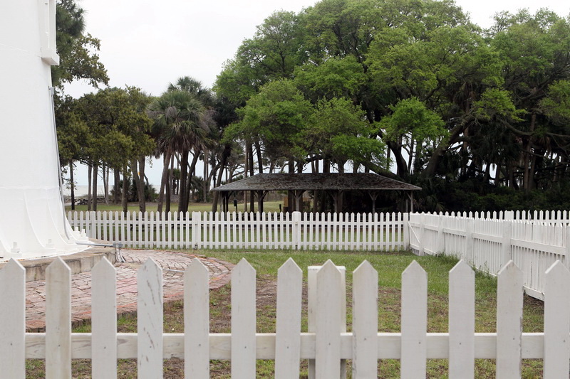
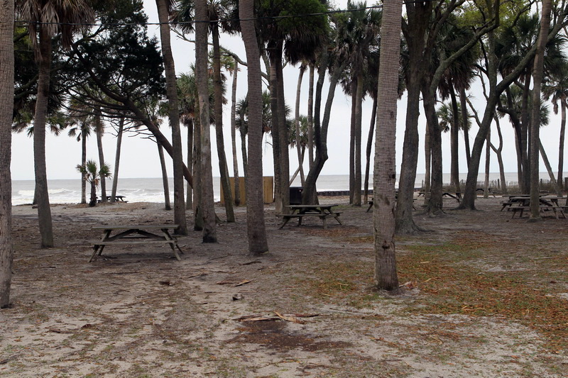
The 75 or so miles to James River State Park today were absolutely beautiful.  I can’t think of anywhere that Spring is depicted so perfectly as in the foothills of middle Virginia.  Curvy country roads flanked by white dogwoods, the startling magenta of miss-named redbud trees, the neon green of shimmering new leaves, the occasional carpet of pale lavender flox, and blue mountains in the distance — all wild, natural and completely humbling.   I can’t believe the James River is so long! Remember, this is the same miles-wide river that we traversed by drawbridge and tunnel near Norfolk three days ago, the same broad river that swept by Chippokes Plantation, Williamsburg and Jamestown, and now here it still is reaching almost to Lexington!  What a river!

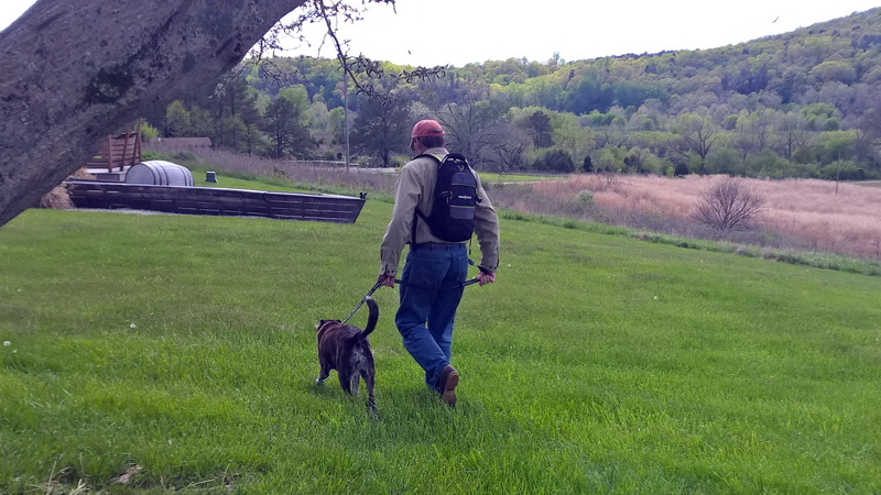
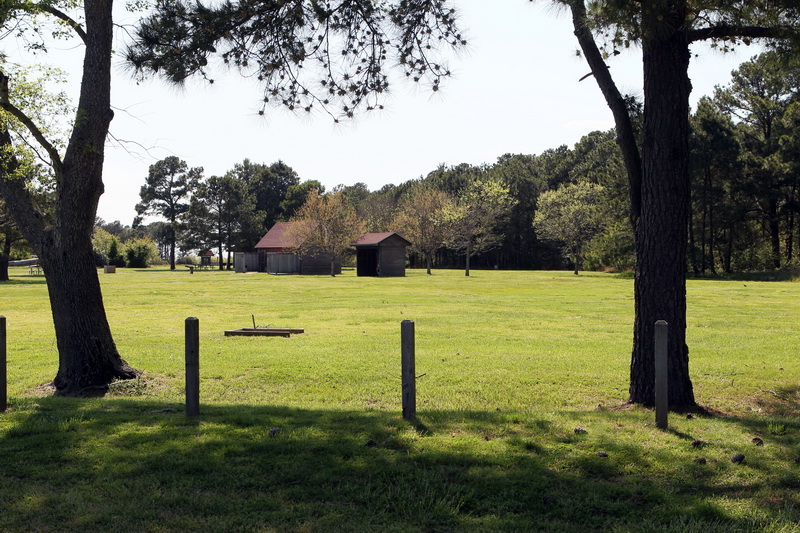
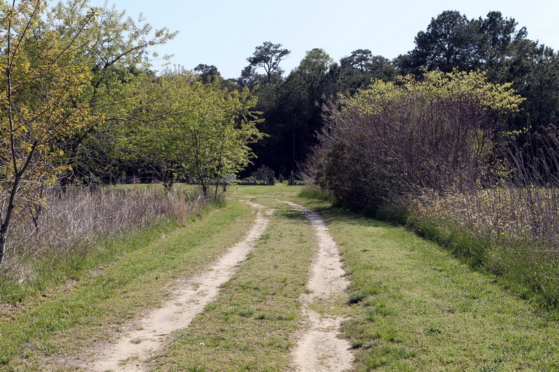
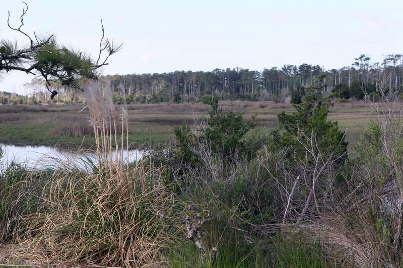
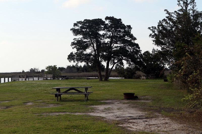
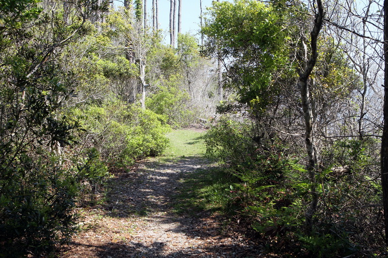
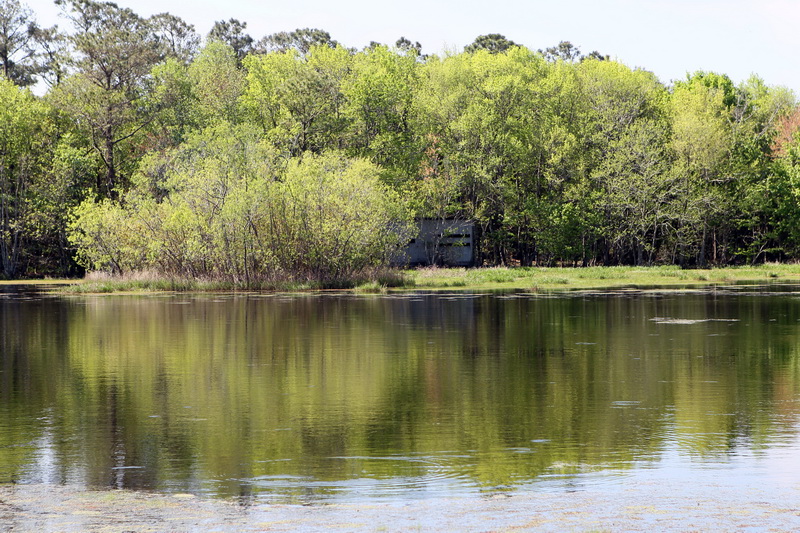
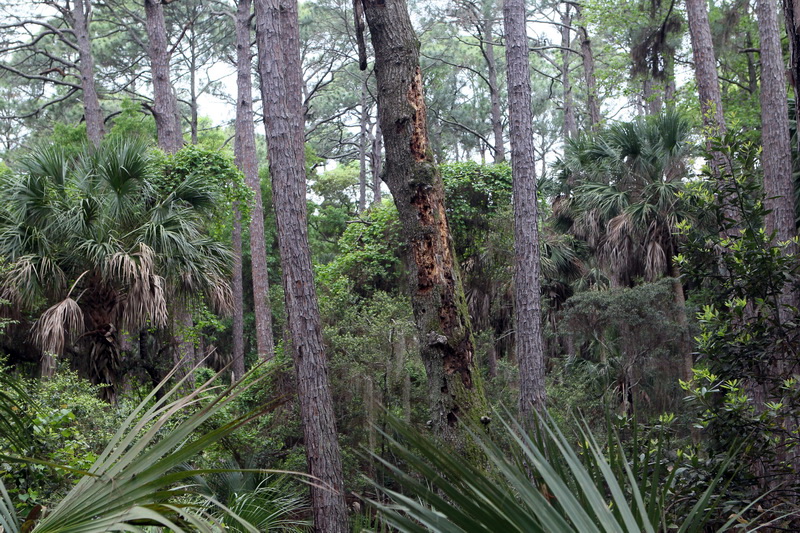
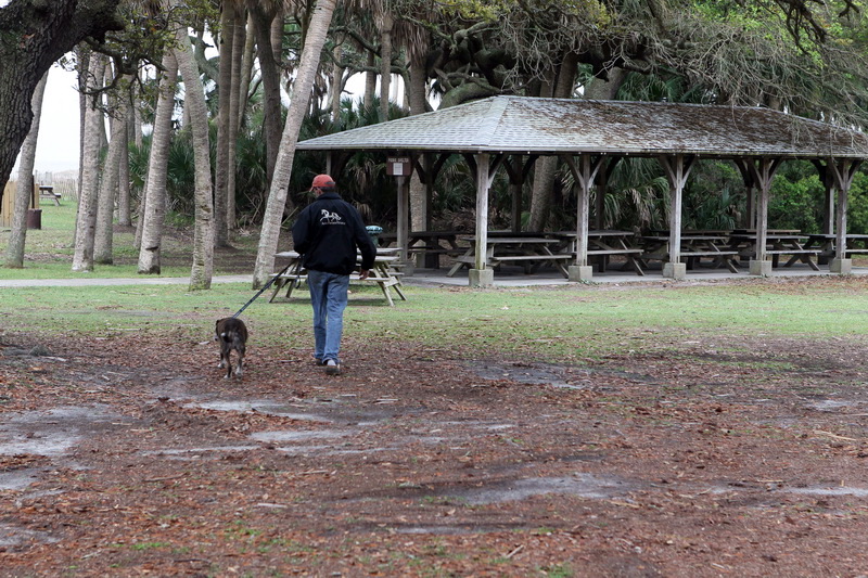
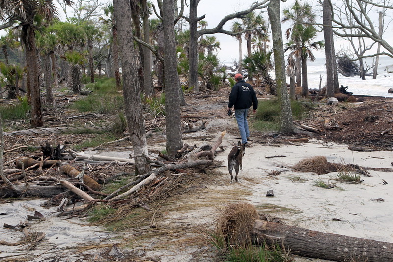
This afternoon, we hiked some of the trails here at the state park, admiring views of cattle grazing in the distant hills, imposing houses of the old aristoscracy nestled in the distance, pretty lakes and a gorgeous trail though the woods to our campsite.  Brad collected dead branches and make a roaring fire, which made a welcome place to have dinner — bowls of Emory’s famous chicken soup and hot cornbread.  There are coyotes howling nearby, so we have moved inside, where is it warm and safe.  I expect we will sleep well to night.

BG4E6825 BG4E6798 BG4E6803 BG4E6826

WP_20150425_12_56_32_Pro WP_20150425_12_57_18_Pro WP_20150426_16_06_14_Pro WP_20150426_16_09_37_Pro WP_20150426_20_01_09_Pro

Posted in Uncategorized | Leave a comment

Wild Hare Farm VA

While we hated to leave Chippokes Plantation, we were excited to head to our next stop — the incomparable Wild Hare Farm in Hanover VA, the home of my niece Alyson, her husband Matt, son Christopher, daughter Madelyn, three dogs (Punky, Willard and PJ), four pigs (Louise, Chicklet, Palin, and Boss), 12 chickens (one named Worms), five rabbits (Myrtle, Teddy, Gus, LeBrown James, and Morty), one draft horse (Blossom), and a fish named Fancy.  As the farm is not far from Richmond, we had time to nip by Smith’s Fort Plantation on the way, although we did not take time to do the full-blown tour.  SFP was the location of Captain John Smith’s fort built in 1609 directly across the James River from the Jamestown colony.  The original fort was quickly abandoned due to dry rot and rat infestation, but the house, built in 1751, is beautiful and is now a museum with furnishings from the late 16th century.   At one point in history, the land was given by Chief Powhatan to John Rolfe as a dowry for the hand of Pocahontas.  Small world!

Wild Hare Farm is a wonderful place, full of the activities of a young family into just about everything!  The farmhouse is new — built by Alyson and Matt just last fall, although they have owned and played on the farm since 2007.  Quite beautiful, as you can see below. My favorite room is the kitchen, with a refurbished 1940 Wedgwood stove and a fabulous sink with “running boards” as I call them and a skirt that Alyson made.   The pasture near the house has all kinds of interesting delights, including an elaborate colony of animal pens and a vintage Airstream (1973 model), which they lived in during the construction of the farmhouse.  When Madelyn arrived home from school in the mid afternoon, she made a bee line for the chicken yard, making sure all were fed, watered and entertained, and collecting five small light brown eggs.   By the time we leave tomorrow, she’ll have collected a dozen for us to take on our voyage.  Christopher was on a mission last night selling ear plugs at the huge Nascar race in Richmond this weekend.  Last time he sold $2,000 worth of earplugs!  I don’t know how many that is, but I would gladly pay $1,000 each if I were at a Nascar race with naked ears!  We had a wonderful spaghetti dinner and stayed up late catching up.   What a great treat to be here.

BG4E6705 BG4E6706 BG4E6713 BG4E6720 BG4E6721 BG4E6727 BG4E6734 BG4E6740 BG4E6741 BG4E6748 BG4E6752 BG4E6767 BG4E6784

Posted in Uncategorized | Leave a comment

The CBBT and Chippokes Plantation VA

April 23, 2015.  Having passed over and through the Chesapeake Bay Bridge Tunnel twice in 24 hours, I now have some updated facts and observations about the well-loved CBBT. First, it is not 27 miles long, as I reported yesterday.  It is really just 23 miles long, end to end, consisting of 12 miles of low-level trestle, two one-mile tunnels, two bridges, two miles of causeway, four man-made islands and 5.5 miles of approach roads.  It is 51 years old, first opening to public traffic on April 15, 1964, when I was finishing up the second grade (with perfect attendance).  They completed the original project with $200 million in revenue bonds (no tax dollars were used).  In worldwide competition with more than 100 other major projects in the running, the CBBT was selected as one of the Seven Engineering Wonders of the Modern World.  It was such a success that in 1995 additional bonds were sold to finance the Parallel Crossing Project, in which they built a parallel bridge to make it a stunning four-lane engineering marvel, except that the two tunnels were not replicated and still bear two-way traffic.   That is the scary part!  The signs in the tunnels tell you to keep up your speed at 55 MPH, even when the guy barreling down on you is pulling a yacht and you are pulling an Airstream.  Also, as I mentioned yesterday, there is actually a restaurant and gift shop in the middle right after the tunnel.  We decided in advance to stop and check it out.  So the flashing sign right as you enter the tunnel says make a right turn after the tunnel to visit the gift shop, but keep up your speed at 55 MPH in the tunnel.  Fine.  Except that the right turn is actually a 180-degree U-turn IMMEDIATELY as you leave the tunnel.  Try doing that pulling an Airstream after having just passed a yacht going 55 MPH in the opposite direction two feet to your left! Brad screamed and we nearly flew into the CB, but we made it and enjoyed a pleasant shopping excursion for 10 am.  Here are some pictures of the CBBT and central gift shop.

BG4E6556 BG4E6559 BG4E6567 BG4E6579 BG4E6580 BG4E6584 BG4E6592

There sure is a lot of water in this part of Virginia!   To get the rest of the way to Chippokes Plantation State Park in Surry VA (a total of 78 miles), we went over two more extremely long bridges and one more tunnel.  Before every tunnel, Brad had to stop and run turn off the propane tank (which powers the refrigerator while driving) and then go re-set the refrigerator afterwards, which gets confused when you do that.  But no harm done.  We got to our destination before noon, even stopping along the way to peep at Smithfield VA and load up on salted hams.

Chippokes Plantation has been a working farm since 1619 (that is not a typo) when Englishman William Powell received patents for 740 acres of land on the Surry side of the James River (just across from Jamestown).  Not surprisingly, it is one of the oldest continually farmed plantations in the US.  The land grant lay in the village of Algonquian Chief Chipoakes, a lower-ranking chief under paramount chief Powhatan, who incidentally was Pocahontas’ dad.  The last person in the last family to own the beautiful Chippokes plantation property died in recent years and left the now 1400 acres, including the lovely antebellum mansion and all the related outbuildings and farm structures to the Commonwealth of Virginia, which turned it into a state park so that people like us can come enjoy it.  Plus, it is still being farmed by lessees, so the tradition continues!  We had a great tour of the old barns filled with ancient farm and household implements, most of which were made right here by Powell and his successors.  Our guide was a 91 year-old former pilot for Piedmont Airlines.  He seemed to be quite familiar with the old ways, having lived without electricity himself until 1938.  Then we toured the lovely mansion and the river house and, because I just can’t get enough of such things, we drove 5 miles further and toured Bacon Castle, the oldest brick dwelling in the US, built in 1665.  It is one of only three remaining high-style Jacobean architectural examples in the western hemisphere.

In honor of the ancient ways, we concluded the evening by playing cards by candle light, dining on Smithfield ham and mulled cider (actually, pinot grigio, but in opaque mugs).

BG4E6615 BG4E6676 BG4E6674 BG4E6672 BG4E6655 BG4E6647 BG4E6641 BG4E6631 BG4E6623 BG4E6621

Posted in Uncategorized | Leave a comment

The Outer Banks, NC and Eastern Shore VA

April 22, 2015.  Gosh, it feels like a year since I last wrote.  We’ve been on, over and through two ferries, one million bridges, two tunnels and three lighthouses since yesterday afternoon.  The ferry from Cedar Island to Ocracoke was interesting — but it took at least 2.5 hours.  The funny thing is that as we queued up to get in line to board the ferry, we pulled in right behind an Airstream just like ours and as we were talking to the owner he told us that they call their trailer Toad Mansion!  They are travelling with an aged dog named Amos!  How very odd.  I guess there is nothing new in the world.

Ocracoke (the town) is very charming with a maze of colorful shops, bars and inns crowded around the harbor.  Upon docking, we sailed through town on our way to the state park campground in hopes of getting a decent campsite, as it was getting very late in the day.  As it turned out, we had our pick of places — nobody camps much in April on a school night.  Good for us!  We moved from the first spot I chose because a nearby camper revved up a loud generator (there is no electricity or water in these island state parks).  The new place was quiet, remote and very dark, making for a beautiful night sky with a crescent moon and brilliant stars.  We drove back into Ocracoke for dinner at a local pub — just to be around lights for a little while and sample some of the local seafood.   We went to bed early, having stayed up until 1:30 the previous night re-celebrating the improbable Yellow Jacket victory and metaphorically tearing off little pieces of hedge.

This morning we naturally woke up at 5:30 with pale light beginning to brighten the windows.  Being this far east makes a big difference in the sunrise.  Taking our coffee with us, we climbed up the high sand dunes and watched the orange sun arrive above the ocean.  Then, without taking time to shower or fix breakfast, we hurried the 15 miles to the Hatteras ferry in hopes of catching the 8 am trip.  We made it there in plenty of time, but there were about 20 cars and three huge tour buses in line in front of us.  It was obvious that there was no way we would fit on the small ferry.  However, it was like getting on a subway in Tokyo — the expert ferry-packers summoned a few cars to board, and then one of the buses and some more cars (we thought it would sink at that point), then another bus!  Then a third bus was crammed in some how and then US!  I would never have believed it.

Like Ocracoke, the village of Hatteras at the ferry landing was bustling with commerce and tourism.  Again, we ignored all that and headed straight for the Cape Hatteras lighthouse, which in 1999 was transported overland 2900 feet to the southwest to its current in-land location to protect it from the eroding shoreline.  Doris wanted to climb to the top, but Brad and I dissuaded her from attempting the feat.  It is one thing to get up an 8-foot metal ladder on a ferry; another altogether to go up 267 spiral steps without the benefit of opposable thumbs.  It is indeed a beautiful lighthouse, with its red brick pediment and distinctive spiral black and white pattern.

We made one more lighthouse stop a few miles later at Bodie (pronounced “body”) Island.  I liked that one the best.  Who knows why.  The Outer Banks was much more developed than I recall from my last visit (in 1980).  But in all fairness, so am I.  At Kitty Hawk, we rejoined the mainland and headed up through bountiful farm country with fields of bright yellow rape, as we had seen in Arkansas last April.  North Carolina is one sprawling, beautiful, diverse state!  Brad commented that it must be difficult to govern and manage, given the many disparate needs and interests of it citizenry.

Circling around Norfolk VA, we took the incredible Chesapeake Bay Bridge Tunnel to the Eastern Shore of Virginia, where we are tonight, at Kiptopeke State Park.  Brad especially wanted to travel on the bridge tunnel, a 27 mile engineering marvel that contains two long underwater tunnels and an even a gift shop in the middle!  I was a nervous wreck with us dragging a 28-foot Airstream through the narrow tunnels at 55 mph with 18-wheelers whizzing by in the opposite lane.  Brad loved it.  He has nerves of steel. He can’t wait to do it going the other way tomorrow!  Meanwhile, we went on a hike to the ocean from our campsite in Kiptopeke and Brad is now grilling hamburgers and corn for dinner.  It has been a remarkable day.

BG4E6403 BG4E6414 BG4E6427 BG4E6429 BG4E6434 BG4E6455 BG4E6465 BG4E6476 BG4E6479 BG4E6485 BG4E6488 BG4E6502 BG4E6503 BG4E6511 BG4E6521 BG4E6522 BG4E6528 BG4E6531 BG4E6536 BG4E6543

Posted in Uncategorized | Leave a comment

Sea Level NC and Harkers Island NC

April 21, 2015.  Below are some pictures of Cedar Creek Campground in Sea Level.  This is a good example of a family owned commercial campground (as opposed to, say. a KOA or Good Sam’s campground).  The owner and his wife (about our age or about 10 years older) work from sun up to sundown grooming the grounds, repairing things, managing the front desk and all manner of other tasks it takes to keep this out-of-the-way place afloat.  We have found it to be just perfect for what we needed this stop.  We unhitched the truck and made side trips to points of interest nearby.

BG4E6219 BG4E6220 BG4E6221 BG4E6222 BG4E6225 BG4E6226 BG4E6227 BG4E6228 BG4E6229 BG4E6234

Last night, we splurged on wifi data and watched my all-time favorite moving picture on youtube (the 2014 Tech-Georgia game), while eating Indian food washed thoroughly down with Speyside scotch.  Just perfect on all three fronts!  (And also why we find it hard to find people who are willing to travel with us, most likely.)

This morning, we visited the very interesting Cape Sound Waterfowl Museum and Heritage Center on Harkers Island, bought an exquisite duck decoy (the carving of which is apparently one of the primary business pursuits in these parts), hiked along a stunning 2-mile trail along the Core Sound and adjacent maritime forest and willow pond, dined on fabulous double cheeseburgers at a local restaurant, and are packing to go queue up for the Cedar Creek Ferry to Ocracoke, where we will stay tonight.  Total driving miles today are 15 (excluding the excursion this morning), but the total travel time will be about 5 hours, due to the ferry ride and connections.

Here are pictures of the morning’s trail and museum.

BG4E6238 BG4E6243 BG4E6246 BG4E6248 BG4E6251 BG4E6267 BG4E6278 BG4E6285 BG4E6294 BG4E6297 BG4E6316 BG4E6322 BG4E6323

Posted in Uncategorized | 1 Comment

Cape Lookout NC

April 20, 2015.  After a wonderful breakfast with Jenny and Dick, we pulled out of Southport at about 9:30 in full sun (for a welcome change) and headed up to Cape Lookout. On the way, we passed through historic Wilmington and then took an interesting detour along the so-called Crystal Coast — a narrow strip of land separating the Atlantic Ocean from Bogue Sound and running from Cape Carteret to Beaufort (which rhymes with Yofort here in NC).  This pretty strip of land is thoroughly populated with hotels, inns, cottages, beach houses, restaurants, shopping meccas, a hand-full of condominium complexes, and several small towns, each with its own proud water tower.  In some places the strip is only one block wide, which kept our necks snapping back and forth trying to watch two shores at once.

We dropped the Airstream off at Cedar Creek Campground in Sealevel NC, a commercial campground catering to fishermen and offering full hookups (which means they provide water, electricity and sewer, which is very convenient).  While it is not as picturesque as a state or federal park campground, it is friendly and serviceable and also happens to be the camping spot closest to the Cedar Creek ferry to Ocracoke, which we will take tomorrow.   In Ocracoke, we will be “dry” camping, which means no electricity or sewer and only as much water as we can carry in our freshwater tank (39 gallons).  Should be interesting!

To treat ourselves this afternoon, we backtracked about 15 miles to visit Cape Lookout National Seashore.  True to our system on this trip of narrowly missing or making deadlines, we caught the last ferry of the day from the Visitors Center at Harkers Island.  The guide was getting on board the ferry and told us to run to the ticket kiosk and he would wait for us.  Doris was welcome!  Including us, there were six humans and one canine passenger on the ferry.  The guide/skipper gleefully tried to scare us to death.  We flew across the sound at 30 MPH, skimming by sand dunes and buoys, our hair combining into one hellish knot (not really — we each had our own hellish knot).  When, 15 minutes after departure, we tied up at the lighthouse dock, we were about 8 feet below the level of the dock and had to climb up a long metal ladder and scramble to safety.  The humans had no real problem with this, but Doris was scratching her head about how to tackle it.  The guide offered to keep Doris for us, but she pooh-poohed that and tried to climb up.  Brad had to lift her up as high as he could and I stood on the dock and spake encouragements while a man from Detroit helped her get her footing on the slippery dock.  After that, she was just fine and ran ahead confidently, as if she had been there before and was leading the tour.

Cape Lookout National Seashore is a 56-mile long, constantly shifting ribbon of sand running from Beaufort Inlet on the southwest to Ocracoke Inlet on the northeast.  Although the island teems with wildlife, there is little to no human habitation.  Portsmouth Village, chartered in 1753, was once a thriving village of 500 (human) inhabitants on the northern end of the island, with a Methodist church, school house and a number of houses still standing, although no one lives there today!  The village served as a “lightering port” to take cargo off heavily loaded ships that could navigate the Atlantic Ocean but not the shallow waters of the sound.  Goods were unloaded at Portsmouth Village, stored in warehouses, and sent to market on shore in smaller boats that could navigate the shallow water.  I guess UPS and FedEx have helped to put lightering ports out of commission.

The current Cape Lookout lighthouse at the south end of the island was installed in 1859 as a replacement for a shorter lighthouse built there in 1812.  It has a distinctive black and white diamond pattern.  I licked the lighthouse.  Literally!  In 1980 some friends and I (anyone remember Nil Toulme?) rented a house in Cape Hatteras.  A child had written in the guest book that he “licked” the lighthouse.  That struck us as really funny and we made a point of each licking the Cape Hatteras lighthouse when we saw it the next day.  It is now a silly tradition of mine.  I wonder if the others still do it.  You know who you are.  Fess up.

BG4E6152 BG4E6160 BG4E6162 BG4E6183 BG4E6186 BG4E6193 BG4E6198 BG4E6209 BG4E6213 BG4E6214 photo+1 WP_20150420_16_14_14_Pro

Posted in Uncategorized | Leave a comment

Southport NC

April 19, 2015.  After breakfast this morning, we took the two dogs (Doris and her cousin Daisy) for a walk on the beach at Oak Island — very near Southport.  When we returned to Jenny’s house, a car was in the drive — two good friends who lived here 8 years ago had dropped in for a visit.  We had fun catching up with them over lunch.

A word or two about Southport.   Located near the mouth of the Cape Fear River (33.924484, -80.20513 on your GPS dial), Southport was founded in 1792 as the town of Smithville, named after Benjamin Smith (or perhaps a variation on Smallville, where Superman was from).   In either event, “Smithville” never got much traction as a town name, so in 1887 the Chamber of Commerce tried out the catchier name “Southport” in an effort to promote the town as a major shipping port.  Bingo!  Not only did the shipping trade head this way in droves, interest in the picturesque village inexorably reached as far as Hollywood CA.  Southport is now a popular location for shooting TV dramas and movies, including film adaptations of many of Nicolas Sparks’ novels (think Bridges of Madison County and so on), the TV series Dawson’s Creek, Under the Dome and Matlock, and a bunch of movies, including I Know What You Did Last Summer, Summer Catch, Domestic Disturbance, Crimes of the Heart, Nights in Rodanthe, A Walk to Remember and Safe Haven.  Today, almost everyone in town goes around wearing sunglasses.

Brad and Dick are in there sleeping through the golf tournament and Jenny and I are cooking dinner and getting back down to business with the cards.  Tomorrow, Brad, Doris and I will head out early for a longish trip up to Cape Lookout, the jumping off point for a drive up the Outer Banks.

Daisy, the Captain and Doris all tensed up on the porch.

BG4E6108 BG4E6105 BG4E6111

Posted in Uncategorized | Leave a comment

Sister Jenny’s!

April 18, 2015.  This morning we woke up early and dashed through our morning routine so we could get an early start on the short 75-mile drive to Southport NC to stay with my sister Jenny and her lovely husband Captain Richard for two days.  They retired to this seaside hamlet 18 years ago and live in the beautiful house you see below.  The whole community looks like Augusta National in April — breathtaking!  After stowing the Airstream near the entrance gate in a secure fenced area with lots of other RVs and boats, Jenny and I immediately sent Dick and Brad and the two dogs off a man/dog-mission so we could catch up on sister-visiting and shopping uninterrupted.  We started off with a delicious lunch at Baked with Love — Jenny’s frequent haunt where everyone knows and loves her.  (In fact, every one in Southport lights up when they see her coming – it’s just something one has to get used to.)  We stopped in several wonderful shops and an art gallery and got our dose of laughing-till-our-sides-hurt and buying “senior” Cokes at the local drive-in.  As soon as we got back, Jenny and I played a spirited game or two of Canasta — she is the master, but she let me win this one time (I suspect).  We then all settled down for cocktails and watched the Hilton Head golf tournament to see if Jordan Spieth could pull another one out of his hat.  I think he shot 12 under, but is still behind. Fingers crossed for this fantastic guy for today — he is so talented and so very poised and polite.

Jenny and Dick fixed a grand dinner and we all sat up late talking until about 11, after which we slept the sleep of the righteous (or at least the self-righteous).

BG4E6090 BG4E6094 BG4E6098 BG4E6103 BG4E6121 BG4E6129 BG4E6131

Posted in Uncategorized | Leave a comment

Huntington Beach (as opposed to Hunting Island, which was yesterday)

April 17, 2015.  This morning, fortified with scrambled farm-fresh eggs, bacon, biscuits, muscadine preserves, a good night’s sleep and (most important) a trail map of Hunting Island, I see now that I have cast undue aspersions on the trail map publisher. We were in fact on trails that were marked correctly with long-ass mileage and no boardwalk — that was just Brad’s way of encouraging me to hike to the lighthouse.   One more note before we leave this topic — all of the Vietnam scenes in Forrest Gump were filmed at Hunting Island.  Now you see why I didn’t just love hiking through the lagoon.  Nevertheless, as we survived with nothing more dire than ruined cute shoes, all is forgiven.

Today was really great.  We scooted up SC Hwy 17, through Beaufort (very charming), Charleston (crossing an extremely cool bridge the top of which was veiled in clouds; a life-changing scene I was unable to capture because the camera was packed away under a pile of stuff), Georgetown (where I closed my first corporate acquisition in 1982 and got so excited about it that, on my way to the airport in Charleston, I took a detour to Pawley’s island and jumped in the ocean in my good silk dress — a bad idea in retrospect, as I still had to fly home on a commercial jet),  Litchfield Beach (where my sister’s sister-and-brother-in-law live, but we were in a terrible hurry) and finally to Huntington Beach (where we are now). The reason we were on a mission to get here by 2 pm is that I discovered on wikipedia somewhere between Beaufort and Charleston that Huntington Beach State Park was originally the property of Archer M. Huntington (an industrialist from the gilded age) and his wife Anna Hyatt Huntington (an accomplished sculptress with a photographic memory that enabled her to stare briefly but intently at wild or domesticated animals and run home and sculpt them as expertly as a taxidermist).  So why the hurry?  The once-a-day tour of their eccentric house, Atalaya, begins at 2 pm.  Having missed the lighthouse tour by five minutes, I was in no mood to miss this.   I even suggested that Brad not stop for a call of nature, but in his defense he was able to complete the stop in less than 60 seconds — that’s what so great about hauling around your own powder room!  I called ahead and got explicit directions about where to go to buy tickets and how to get there from the entrance gate.  I jumped out of the still moving truck at 1:59:59 and sprinted with Brad’s 40 lb. camera to the ticket kiosk and got in!   It was well worth it.  It was like a combination of Dungeness (the burnt ruins of the Thomas Carnegie family pleasure dome on Cumberland Island), Sissinghurst Castle (the Kentish love nest of Harold Nicolson and Vita Sackville-West) and Sing Sing Prison (as I imagine it).  Thirty fireplaces!  Bare brick walls and floors throughout!  Barred windows!  A central 38-foot water tower!  A dedicated oyster shucking room!

Meanwhile, back at the campground, Brad and Doris were setting up the Airstream and tuning in the satellites so we can watch the Braves tonight.  They are losing 2 to 1 to  Toronto in the third.  There is still hope.  We are eating good-luck black beans and rice with a nice chateauneuf du pape from the gift shop.

BG4E6037 BG4E6038 BG4E6039 BG4E6045 BG4E6050 BG4E6053 BG4E6057 BG4E6061 BG4E6066 BG4E6068 BG4E6069 BG4E6071 BG4E6074 BG4E6075 BG4E6076 BG4E6080 BG4E6083 WP_20150417_18_11_52_Pro WP_20150417_18_22_28_Pro

Posted in Uncategorized | 1 Comment

Hunting Island SC

Just getting used to this blogging again. I tried to start the new 2015 trip with a new “page” but it turns out that is not what pages are for on a blog site.  Viewers on a mobile device only see the Home page and have to really root around to find a different page.  So I am moving this 2015 trip to the Home page as a continuation of last year’s blog.  If you missed the first 2015 entry, look below for “Doris Rides Again.”  Sorry for any confusion!

This morning we lolled around in George L. Smith State Park, toyed with and rejected the idea of renting a paddle boat, and finally got on the road about 11 am. Taking country roads, we bi-passed as much of I-16 as possible and were thus treated to lovely bucolic scenes of Georgia’s low country on a brisk, damp Spring morning. Most of the farms were immaculately cared for and looked prosperous — or at least hopeful of prosperity — at this new beginning of the growing season. We finally were forced to get back on I-16 in order to make the sure transition to I-95, which we took only a short distance into South Carolina before heading off towards Beaufort (which in SC rhymes with Yewfort and not Yofort), past Parris Island, where enlisted Marines from all over the country receive basic training (we drove fast), and on to Hunting Island State Park, where we are now. This is one of SC’s most popular and heavily visited state parks (over 1 million visitors a year), and we can see why — although we have not seen the other 46.  It is best known for its lighthouse, which is no longer in service but they allow visitors to go up the top and take in the vast expanse of scenery (most in South Carolina do not allow that).

Right after a latish lunch in the Airstream (grilled hot dogs and Sauvignon Blanc), Brad, Doris and I set out on a hike to find the much-touted lighthouse. The park map indicated a seemingly reasonable 1.5 mile trail through the magnolia forest and over the lagoon (via a board walk said Brad convincingly) and then to the ocean, where the lighthouse naturally stands.  The first part of the hike was magnificent — it was like walking though that old computer game Myst — a hilly pine strewn path surrounded by ancient oaks hung with Spanish Moss, tall pines, magnolias and palm trees and thicket after thicket of waist-high palms.  However, the brochure lied shamelessly about the length of the trail.  After about an hour of hiking smartly, we came to the part where I was expecting a board walk to appear to escort us over the lagoon.  No such thing.  We trudged for at least an hour through sodden paths.  I finally just rolled up my pants and took my shoes off and waded straight though knee-high pools of cold black water, ever mindful that the diamondback rattle snake calls this place home.

At long last we got to the lighthouse and struggled over to a bench to rest.  A park ranger came flying out of the lighthouse and told us that dogs are not allowed on that side of the white picket fence.  That really hurt my feelings.  There was not a living soul around and Doris was not hurting a thing.  I was reminded of the story my childhood nurse told me about when as a young person she finally got the chance to ride the bus to Atlanta and go to the zoo, but when she got there she was told that negroes were not allowed.  I cried about that for years and almost cried today at the affront to Doris (and indirectly to Brad).  However, I decided to go up in the lighthouse since we had come so far.  But the same ranger told me that I had missed the deadline by 5 minutes and he closed and locked the door in front of me.  I was a bit peeved.  So we set out to walk the two miles back to the campground along the beach.  To our astonishment, the beach was completely eroded — breakers crashed into trees well back from the shoreline and it was impossible to go that way.  There was NO WAY I was going to reverse our trek through the lagoon in the growing dark, so I frantically began to assess the likelihood that I could beg a ride from one of the stragglers going to their cars after the final lighthouse tour of the day.  None looked particularly amendable to adding two soaking wet adults and a dog to their cars.  In the meantime, Brad asked the park ranger for a suggestion and he said that if we left right that minute (giving the rising tide) we might be able to make it back to the campground via the Lighthouse Nature Trail without having to swim.  We set out at a run, dragging Doris with us in a literal race against the tide.  We sort of made it.  Brad got across with the camera but I had water up to my waist and Doris had to swim.  Thus soaked to the gills we just had to laugh.  Brad and Doris actually thought the whole thing was a great adventure.  I am still reserving judgment.  Maybe I am just tired and wet.

Brad fixed a great dinner of grilled chicken, roasted corn on the cob, turnip greens and gins and tonic.  I feel somewhat warmer and drier already!

BG4E5916 BG4E5918 BG4E5928 BG4E5932 BG4E5940 BG4E5942 BG4E5943 BG4E5945 BG4E5946 BG4E5951 BG4E5953 BG4E5956 BG4E5959 BG4E5962 BG4E5974 BG4E5980 BG4E5982 BG4E5987 BG4E5989 BG4E5990 BG4E5998 BG4E6002 BG4E6003 BG4E6015 BG4E6019 BG4E6020 BG4E6021 BG4E6023

Posted in Uncategorized | 3 Comments